Japan in Northwest Thailand during World War II
| N17°22.365 E100°04.586[1] |
Ban Dara Bridge (Th: / Jp: ) USAAF Aerial Photo Intelligence Page 1 of 1 |
RR Bridge Northern Route Sta 456.99 [2] |
| Text | Notes | |||||||||
|
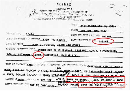
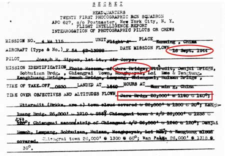
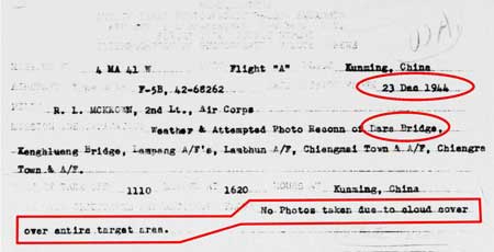
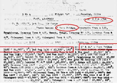
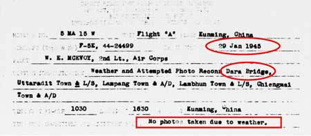
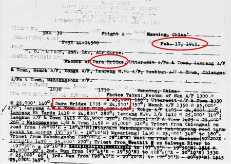
Flight reports here record aerial photo coverage of Ban Dara Bridge by only the 21st Photographic Reconnaissance Squadron. Other coverage probably exists, but I have not found it as yet.
|
See Key for interpreting page content. Revision list. See bottom of Text column on this page. Bibliography supports notes. 1.^ Source: Google Earth fix on center of bridge. 2.^Whyte, BR, The Railway Atlas of Thailand, Laos, and Cambodia (Bangkok: White Lotus, 2010), p 27. 3.^ 21st Photographic Reconnaissance Squadron (hereafter 21PRS) Report Mission No. 13-4A, 09 Jan 1944 (USAF Archive microfilm reel A0878 p0197).
4.^ 21PRS Report Mission No. 4 MA 115, 16 Sep 1944
5.^ 21PRS Report Mission No. 4MA 41 W, 23 Dec 1944
6.^21PRS Report Mission No. 5 MA 4, 05 Jan 1944
7.^ 21PRS Report Mission No. 5 MA 15 W, 29 Jan 1945
8.^ 21PRS Report Mission No. 5 MA 39, 17 Feb 1945
|
|||||||||

